Riparian Reserves along the Indian Ocean: High Water Mark Rules for Beachfront Buyers
Understand High Water Mark rules along Kenya's coastline: statutory setbacks, sea wall permits, NEMA compliance, and legal protections.

There is nothing quite like opening your terrace door to unobstructed views of the Indian Ocean breaking gently over coral reef shallows. Yet for beachfront property owners in Mombasa, Diani, Watamu, and Lamu, proximity to the water carries precise statutory obligations. Ignorance of coastal riparian laws has led to court injunctions, forced demolitions of perimeter walls, and severe environmental penalties.
In Kenya, the boundary between private freehold or leasehold land and the public domain is governed by the concept of the High Water Mark (HWM). Understanding where private ownership ends and the public beach begins is the most critical due diligence step when evaluating any beachfront acquisition.
The High Water Mark Legal Definition
Under the Survey Act Cap 299, the High Water Mark is defined as the highest point reached by the sea during ordinary spring tides. All land situated seaward of this mark is public land vested in the National Government for the benefit of the people of Kenya.
The Statutory Coastal Setback: 30 to 60 Meters
Unlike inland river riparian zones (which generally mandate a 6 to 30-meter buffer from riverbanks depending on river width), coastal buffer zones are governed by the Environmental Management and Co-ordination Act (EMCA) and Integrated Coastal Zone Management (ICZM) frameworks.
Key rules every beachfront buyer must know:
- The 30-Meter Minimum Building Setback: Permanent habitable structures (villas, hotel wings, pools) must generally be set back a minimum of 30 meters from the surveyed high-water spring tide mark.
- Ecological Fragility Extensions: On dune ecosystems, mangrove creeks, and low-lying coral cliffs, county physical planning authorities and NEMA can extend the mandatory setback to 60 meters to prevent beach erosion and protect storm surge buffers.
- Unrestricted Public Beach Access: The area below the high-water mark is public space. Beachfront owners cannot erect fences, gates, or barriers that prevent public passage along the sand.
Constructing Sea Walls and Coral Cliff Reinforcements
With climate change and rising tidal surges, many coastal property owners seek to build stone seawalls or rock armouring to prevent cliff erosion. However, building a seawall without statutory permits is illegal under Kenyan law.
A lawful seawall requires a multi-agency clearance protocol:
1. A coastal geotechnical survey to assess wave refraction impact on neighboring properties.
2. An Environmental Impact Assessment (EIA) licensed by NEMA.
3. Approvals from the Kenya Wildlife Service (KWS) if the property borders a designated Marine National Park or Reserve.
4. Formal structural development permission from the relevant County Government Planning Department.
Due Diligence Caution
When purchasing an existing beachfront property with an existing seawall, always demand copies of the original NEMA EIA license and county approvals. Unpermitted seawalls can be targeted for mandatory removal at the owner's expense.
Cadastral Survey and Beacons along the Shoreline
Because oceanic wave action continually reshapes sand dunes and coral cliffs, original land beacons placed decades ago may now sit submerged underwater or buried under shifted dunes. A prospective buyer must never rely on aerial maps or existing boundary fences.
Commission a licensed land surveyor to conduct an on-the-ground re-establishment of beacons. The surveyor will calculate the exact coordinate offset from the current astronomical high water mark, confirming whether the parcel has suffered coastal erosion or encroaches illegally onto the public foreshore.

Related Residences, Developments & Neighbourhoods

KILELESHWA · 5 VIHIGA ROAD, KILELESHWA, NAIROBI
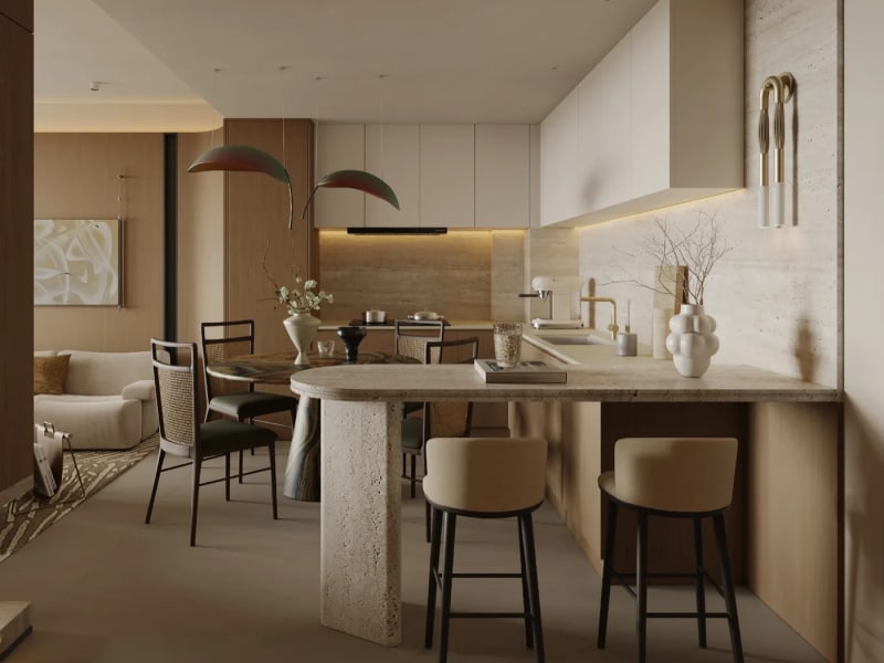
Belgravia Place 3-Bedroom + Mini-Studio Signature Residence (163 sqm)
Flagship 163 sqm corner residence with dual living terraces and autonomous mini-studio
KILELESHWA · 5 VIHIGA ROAD, KILELESHWA, NAIROBI
Belgravia Place 2-Bedroom + Mini-Studio Residence (135–143 sqm)
Innovative 135 to 143 sqm dual-key ready configuration with independent mini-studio

Kileleshwa · 5 Vihiga Road, Kileleshwa, Nairobi
Belgravia Place
Refined 1, 2 and 3-bedroom residences with rooftop padel court and heated sky pool

Lavington · Quiet Gated Court, Lavington, Nairobi, Kenya
Lavington Luxury Villas
Distinguished 5-bedroom luxury villas spanning 6,000 sq ft with private pools and landscaped gardens.
Nairobi Suburb
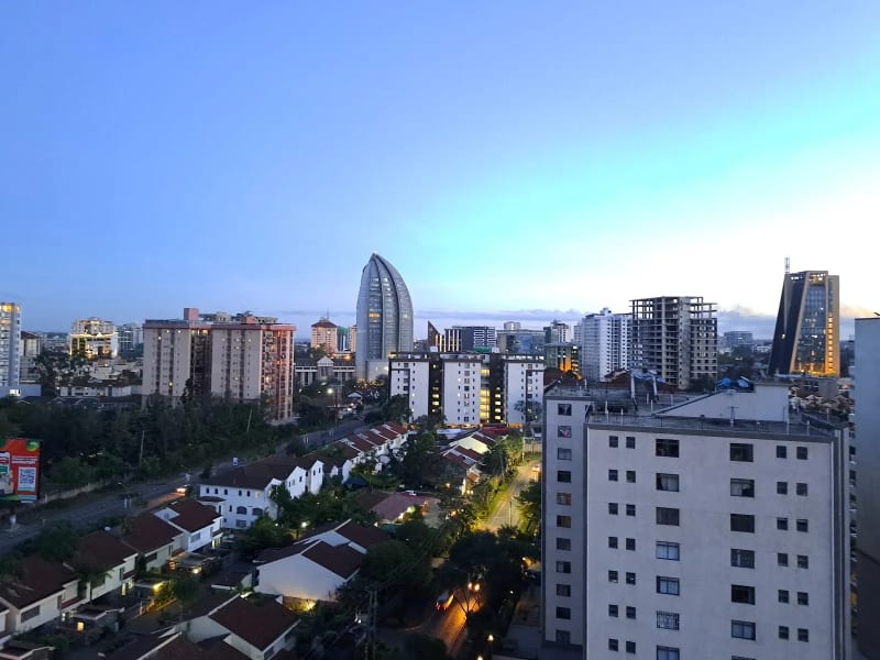
Kilimani
Nairobi's vibrant apartment district with exceptional rental demand and investment potential.

Nairobi Suburb
Runda
Prestigious Embassy Living in a Secure Garden Suburb

Nairobi Suburb
Kitisuru
Exclusive Green Living with Luxury Homes & Privacy